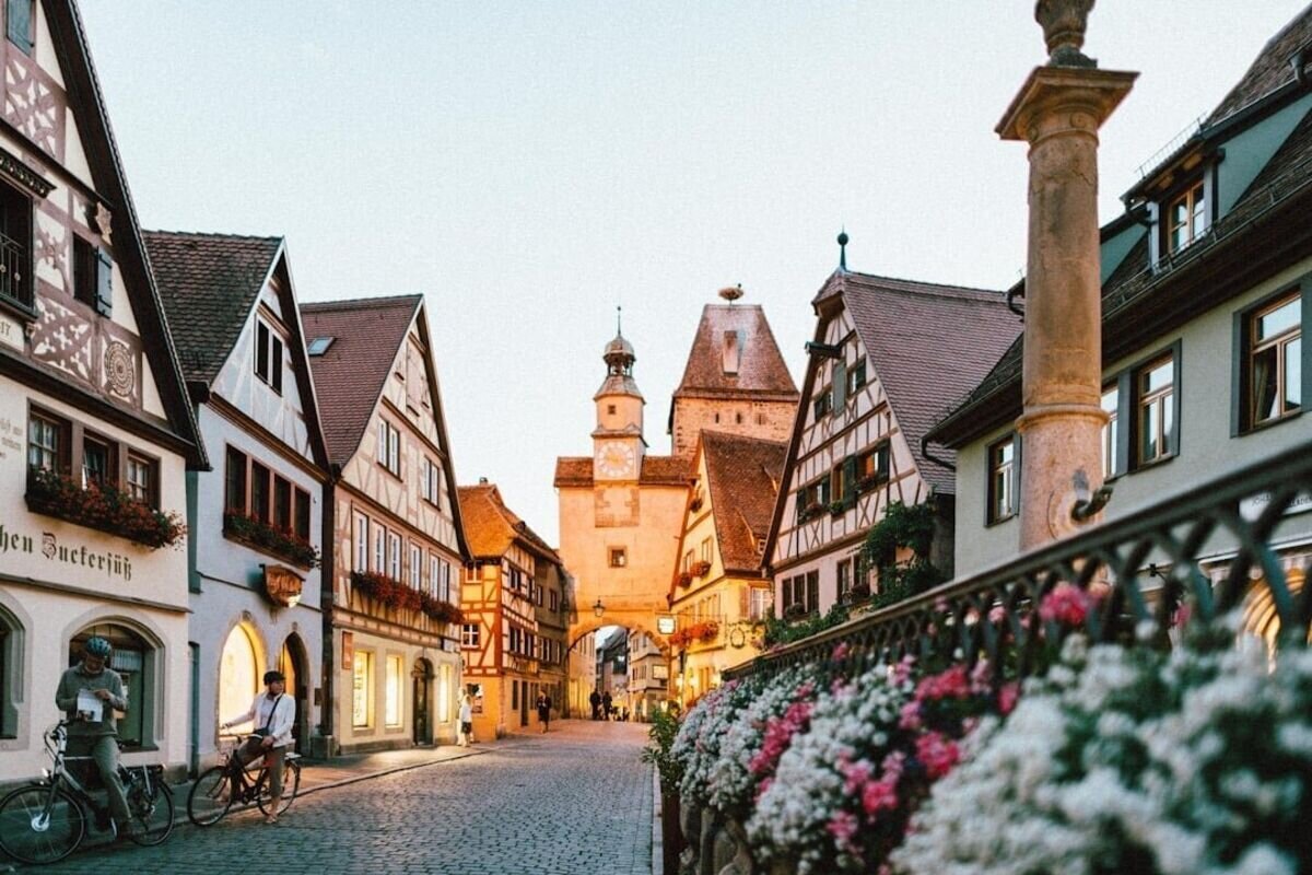
Cologne
One of Germany's oldest cities, Cologne seamlessly weaves 2,000 years of history into its…

North Rhine-Westphalia (Nordrhein-Westfalen, often shortened to NRW) is Germany’s most populous federal state, home to more than 18 million people in the country’s west. The British military administration created it in 1946. It includes Europe’s dense Rhine-Ruhr metropolitan area, along with quiet forests and river valleys.
The state packs roughly 18 million residents into about 34,100 square kilometers, giving it a population density far above the German average. That concentration isn’t evenly spread. The Rhine-Ruhr corridor holds a nearly continuous chain of cities, while the Eifel hills and Sauerland uplands remain thinly settled.
Visitors who treat NRW as four distinct areas, the Rhine cities, the post-industrial Ruhr, historic Westphalia, and the forested uplands, will plan far better trips than those who treat the state as one urban block. Each has its own dialect, food, festival calendar, and pace.
Its position on the European continent also matters for travel logistics. NRW borders Belgium and the Netherlands, putting Brussels, Amsterdam, and Paris within a few hours by train.
North Rhine-Westphalia sits in western Germany, bordered by Lower Saxony to the north and northeast, Hesse to the east, rhineland-palatinate/” rel=”noopener” target=”_blank”>Rhineland-Palatinate to the south, and Belgium and the Netherlands to the west and southwest. About 52 percent of its land is farmed, and roughly a quarter is forest. That may surprise readers who expect wall-to-wall industry.
The state splits into two historic halves: the Rhineland in the west and southwest, and Westphalia in the east and north.
The state’s name records its origins. “Nordrhein” refers to the northern part of the old Prussian Rhine Province, while “Westfalen” refers to the neighboring province of Westphalia.
Administratively, NRW is divided into Kreise (rural districts) and kreisfreie Städte (urban districts that govern themselves without a district authority). Travelers rarely need these terms, though they appear on official signs and local government websites.
Beneath the two historic halves sit smaller landscape regions with strong local identities: the Eifel, the Sauerland, the Siegerland, the Münsterland, the Lower Rhine, and the Bergisches Land. Each has distinct food, building styles, and terrain.
The Rhine River is the state’s defining waterway. It flows north through Bonn, Cologne, Düsseldorf, and Duisburg, where it meets the Ruhr and forms one of the world’s busiest inland ports.
The Ruhr gave its name to the industrial region on its northern bank. Farther north, the Lippe runs west across Westphalia toward the Rhine, while the Ems rises in the Teutoburg Forest before heading toward the North Sea.
These rivers still carry freight, and their towpaths now double as long-distance cycling routes. Deeper background on the gorge section upstream appears in coverage of the Middle Rhine Valley, a UNESCO landscape of castles and vineyards.
The north and west of the state belong to the flat North German Plain, with wide fields, canals, and small brick towns.
Moving south and east, the land rises into the Central Uplands. The Eifel reaches toward Belgium with volcanic lakes and moorland, while the Sauerland offers reservoirs and ski slopes that fill on winter weekends.
The Teutoburg Forest forms a wooded ridge in the northeast, running roughly southeast to northwest across the Münsterland border country. Its sandstone outcrops and beech woods draw hikers from nearby Bielefeld and Detmold.
Modern North Rhine-Westphalia took shape on 23 August 1946, when the British military administration merged the northern Rhine Province with the Province of Westphalia in an operation code-named Operation Marriage. The territory of Lippe joined on 21 January 1947.
Everything before that date belongs to a much longer sequence, from Roman frontier posts on the Rhine to Prussian coal towns.
Germanic tribes lived across the region when the Roman Empire pushed its frontier to the Rhine. Cologne and Xanten began as Roman settlements, and stretches of Roman road and wall still survive.
Through the Middle Ages, the area belonged to the Holy Roman Empire as a patchwork of church territories, free cities, and small principalities. Cologne became a major trading city, while Aachen served as a coronation site.
Prussia absorbed much of the region after 1815, creating the Prussian Rhine Province and the Province of Westphalia. Those two Prussian units became the building blocks of the modern state. Related background appears in the site’s Holy Roman Empire history section.
World War II left the Ruhr’s cities heavily bombed, and Allied forces took control of its industry. British planners wanted a single administrative unit large enough to manage reconstruction and keep the Ruhr from returning to arms production.
Karl Arnold, a Christian Democrat, became the first democratically elected state premier. NRW joined the Federal Republic of Germany in 1949.
The postwar economic miracle rebuilt the state on coal and steel, supported by around fourteen million guest workers who arrived from southern Europe and Turkey. Heinz Kühn led the state through the 1970s, and Johannes Rau succeeded him in 1978, serving for twenty years.
The coal crisis of 1964 marked the start of structural change that lasted for decades. Mines closed and steelworks shrank. The closure of the Rheinhausen rolling mill in Duisburg came to symbolize the shift.
Steelworkers struck in 1987 for the first time in fifty years. Public policy responded by funding universities, museums, and cultural projects across the industrial region.
Today, creative industries employ more people in the Ruhr area than mining does, and former pits house design studios and exhibition halls.
North Rhine-Westphalia has more large cities than any other German state. Cologne (Köln) is the biggest, with over a million residents, followed by Düsseldorf, Dortmund, Essen, and Duisburg. Trains connect most of them in under 40 minutes.
The Rhine cities lean toward carnival, cathedrals, and fashion; the Ruhr cities toward industrial heritage and football; and Westphalian towns toward medieval cores and university life.
Cologne grew from a Roman colony and centers on its Gothic cathedral, whose twin spires are visible from every approach. The Old Town, Romanesque churches, and Roman-Germanic Museum sit within a short walk of the main station. Fuller detail appears in the dedicated Cologne city guide.
Düsseldorf, 25 miles downstream, serves as the state capital. Its Königsallee shopping boulevard, Rhine promenade, and Frank Gehry buildings in the Medienhafen draw a different crowd.
The two cities maintain a long rivalry, expressed most clearly through their beers: Kölsch in Cologne and Altbier in Düsseldorf.
The Ruhr area is a polycentric region of about five million people with no single dominant center. Essen holds the Zollverein coal mine complex and the Museum Folkwang.
Dortmund built its post-mining identity around football, technology, and the Dortmunder U arts center. Duisburg runs the inland port and the Landschaftspark, a former ironworks now used for climbing and diving.
Bochum hosts the German Mining Museum and a long-running musical theater. Oberhausen holds the Gasometer exhibition hall and an international short film festival.
Aachen sits at the Belgian and Dutch border and was Charlemagne’s power base. His cathedral became Germany’s first UNESCO World Heritage site in 1978.
Bonn served as West Germany’s capital until 1990 and remains a federal city. It is the birthplace of Ludwig van Beethoven, whose house is now a museum.
Münster, in the Münsterland, is a cycling city with a restored medieval center. Paderborn holds a Romanesque cathedral and computer museum. Wuppertal runs the Schwebebahn, a suspended monorail that has hung above the Wupper river since 1901.
North Rhine-Westphalia holds five UNESCO World Heritage sites and an unusually dense network of museums, concert halls, and theaters. Much of that cultural infrastructure grew during the decline of coal and steel.
The state was never a land of royal courts, so its cultural wealth grew from civic and working-class institutions. Local traditions follow a strong seasonal calendar, with carnival in the Rhineland and shooting festivals across Westphalia.
The five World Heritage entries cover very different eras:
| Site | City | Listed for |
|---|---|---|
| Aachen Cathedral | Aachen | Carolingian architecture, Charlemagne’s chapel |
| Cologne Cathedral | Cologne | High Gothic construction, begun 1248 |
| Augustusburg Palace and Falkenlust | Brühl | Rococo palace and hunting lodge |
| Zollverein Coal Mine Industrial Complex | Essen | Bauhaus-influenced colliery architecture |
| Corvey Abbey | Höxter | Carolingian westwork, ninth century |
Zollverein is the clearest example of industrial heritage reused as a cultural site, holding the Ruhr Museum and the Red Dot Design Museum. Brühl is also home to Phantasialand, open 10:00 to 18:00 Monday through Friday and Sunday, and 10:00 to 20:00 on Saturday.
The state has one of Europe’s densest concentrations of museums, cultural centres, concert halls, and theatres. Düsseldorf’s Kunstsammlung Nordrhein-Westfalen and Essen’s Museum Folkwang hold major modern collections.
Joseph Beuys taught at the Düsseldorf Art Academy and remains the state’s most cited postwar artist. Bernd and Hilla Becher photographed the industrial structures that later became heritage sites.
The Ruhrtriennale festival stages performances in disused industrial halls each late summer. Film festivals run in Oberhausen, Duisburg, Cologne, Lünen, Münster, Bonn, and Dortmund.
Rhineland carnival peaks in the days before Lent, with Weiberfastnacht (Women’s Carnival Thursday) and Rosenmontag (Rose Monday) parades in Cologne, Düsseldorf, Bonn, and Aachen. Schools and offices close, and costumes are expected.
Kölsch, Cologne’s pale top-fermented beer, arrives in 200-millilitre glasses. Servers replace each one until the drinker sets a beer mat on top.
Regional dishes include Himmel un Ääd (blood sausage with mashed potato and apple), Rheinischer Sauerbraten, and Westphalian Pumpernickel and dry-cured ham. More on regional customs sits in the site’s culture section.
North Rhine-Westphalia has Germany’s densest transport network, so most trips work without a car. Deutsche Bahn connects the major cities at high frequency, and regional passes cover buses, trams, and local trains across the whole state.
Outside the cities, the Sauerland, Eifel, and Teutoburg Forest offer thousands of kilometers of marked trails.
Intercity and regional trains link Cologne, Düsseldorf, Essen, Dortmund, and Duisburg every 10 to 30 minutes. Cologne to Düsseldorf takes about 25 minutes.
Inside cities, S-Bahn (suburban rail) and Stadtbahn (light rail) systems run under shared regional tariffs. A day ticket bought in one city works across neighboring networks.
The Autobahn network is dense and heavily used, with the A1, A2, A3, and A40 carrying steady freight traffic. Weekday rush hours around the Ruhr add significant delay.
Fares and timetables change, so confirm both with the operator before travel.
Düsseldorf Airport is the state’s largest, with intercontinental service and a station on the main north-south rail line. Cologne Bonn Airport handles a mix of scheduled and low-cost flights.
Dortmund Airport serves mostly European budget routes. Many visitors arrive instead through Frankfurt or Amsterdam Schiphol, both within about two hours by direct train.
General preparation advice sits in the site’s guide to planning a trip to Germany.
The Münsterland has flat, signposted cycle routes, including the 100 Castles Route through moated manor houses. Rhine and Ruhr towpaths carry long-distance cyclists between cities.
Hikers head to the Rothaarsteig in the Sauerland and the Eifelsteig, which runs 313 kilometers toward Trier. The Teutoburg Forest offers shorter loops past the Externsteine rock formation.
Reservoirs such as the Möhnesee and Biggesee support sailing, swimming, and rental boats. Football fills weekends too: Borussia Dortmund’s Bundesliga home matches at Signal Iduna Park draw more than 80,000 spectators.
Düsseldorf is the state capital and seat of the state parliament and government. Hendrik Wüst has served as Minister-President since 27 October 2021 and was re-elected in June 2022. Cologne is larger by population, but administrative functions sit in Düsseldorf.
Cologne is the largest with more than one million residents, followed by Düsseldorf, Dortmund, Essen, and Duisburg. Bochum, Wuppertal, Bielefeld, Bonn, and Münster round out the top ten. The state has more cities above 500,000 residents than any other in Germany.
NRW is Germany’s leading industrial region, with 37 of the country’s top 100 corporations based there. Small and medium-sized businesses make up 99 percent of enterprises in the state. If treated as an independent country, its export volume would rank among the world’s largest.
German is the official language, and English is widely spoken in cities and tourist services. Regional dialects include Kölsch in Cologne and Low German varieties in Westphalia. Most residents, though, speak standard German in daily business.
Düsseldorf Airport, Cologne Bonn Airport, and Dortmund Airport are the state’s three commercial airports. Düsseldorf handles the most long-haul routes. Frankfurt Airport and Amsterdam Schiphol also connect to NRW cities by direct train in roughly two hours.