Middle Rhine Valley
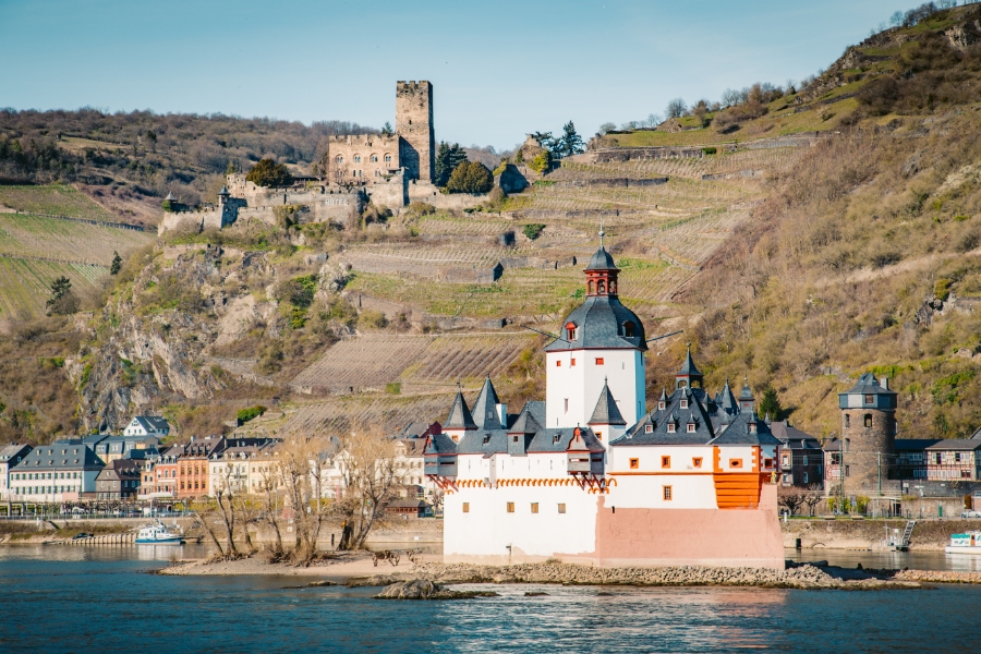
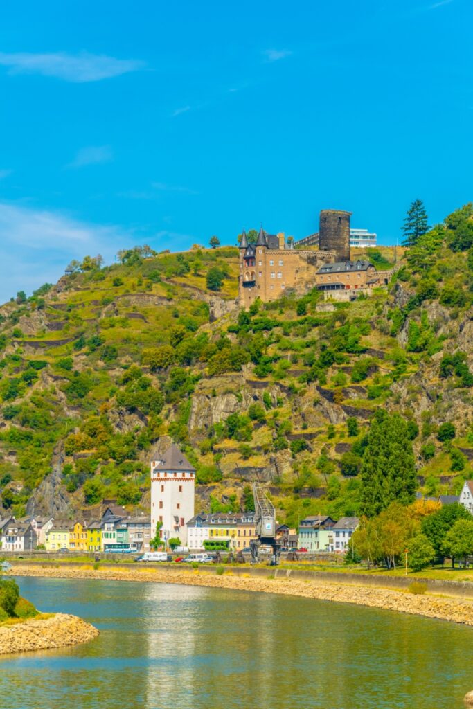
The Middle Rhine (Mittelrhein) runs from Bingen to Bonn. Its most celebrated 65 kilometers, the Upper Middle Rhine Valley between Bingen, Rüdesheim, and Koblenz, hold more than 40 castles and have been a UNESCO World Heritage Site since 2002.
That distinction matters when you’re planning. The broader Middle Rhine corridor stretches roughly 130 kilometers north to Bonn, while the protected cultural landscape covers only the narrow gorge where slate cliffs squeeze the river and vineyard terraces climb the slopes.
Visitors who understand the two riverbanks, the two rail lines that follow them, and the ferry crossings between them will move through the valley far more easily than those who plan around a single town. The Rhine served as a toll route, defensive frontier, and wine region long before it became a scenic destination. Each role left physical traces you can still walk into.
Key Takeaways
- The UNESCO-listed Upper Middle Rhine Valley covers 65 kilometers between Bingen, Rüdesheim, and Koblenz, not the entire Middle Rhine.
- Over 40 castles and fortresses line the gorge. Most were built to control river traffic and collect tolls.
- Trains run along both banks, ferries connect them, and the valley is open around the clock with no admission gate.
Where Is the Rhine Gorge and Why Is It UNESCO-Listed?
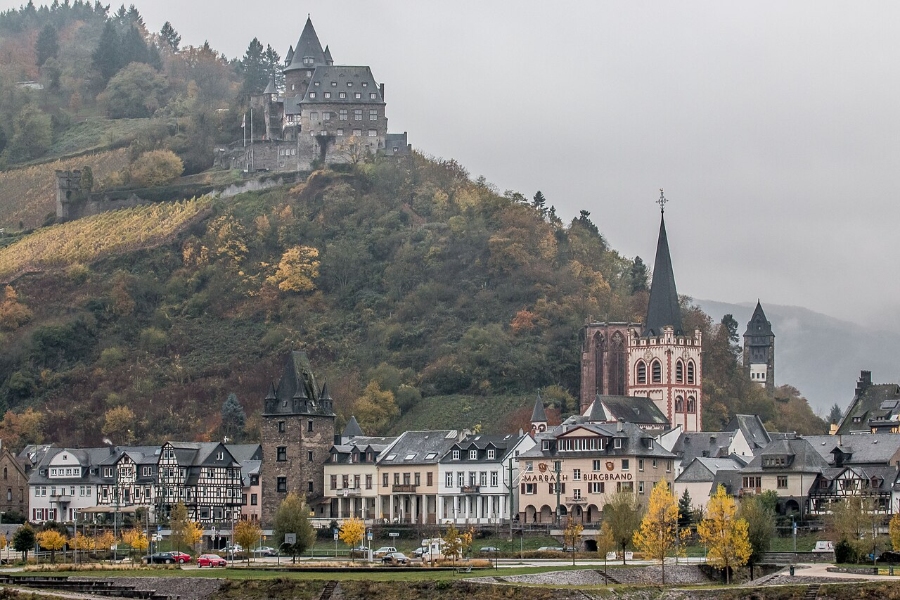
The Rhine Gorge sits in western Germany, cutting through the Rhenish Slate Mountains between Bingen am Rhein in the south and Koblenz in the north. UNESCO inscribed this stretch in 2002 as a cultural landscape, recognizing 2,000 years of human settlement, transport, and viticulture shaped by a difficult river valley.
The Middle Rhine and Upper Middle Rhine Valley Boundaries
The Middle Rhine covers Rhine kilometers 529 to 660, running from Bingen to Bonn. It touches three federal states: Rhineland-Palatinate, Hesse, and North Rhine-Westphalia.
The Upper Middle Rhine Valley (Oberes Mittelrheintal) forms the southern 65 kilometers of that corridor. North of Koblenz, the valley widens and the landscape shifts toward the Lower Rhine.
From Bingen and Rüdesheim to Koblenz
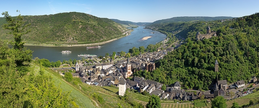
Bingen and Rüdesheim face each other across the water at the southern entrance. Bingen sits on the left bank in Rhineland-Palatinate, while Rüdesheim sits on the right bank in Hesse.
Upstream lie the open vineyard plains of the Rheingau and Rheinhessen, with Mainz beyond. Koblenz marks the northern end of the World Heritage property, where the Mosel meets the Rhine at the Deutsches Eck.
How the Rhenish Slate Mountains Shaped the River Corridor
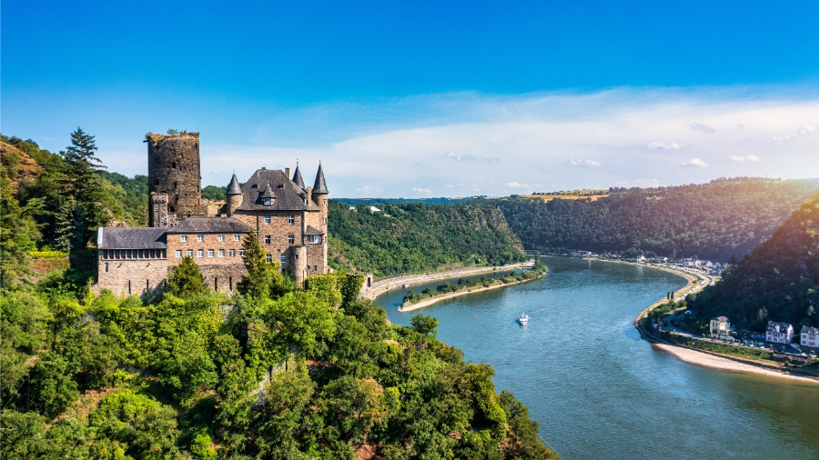
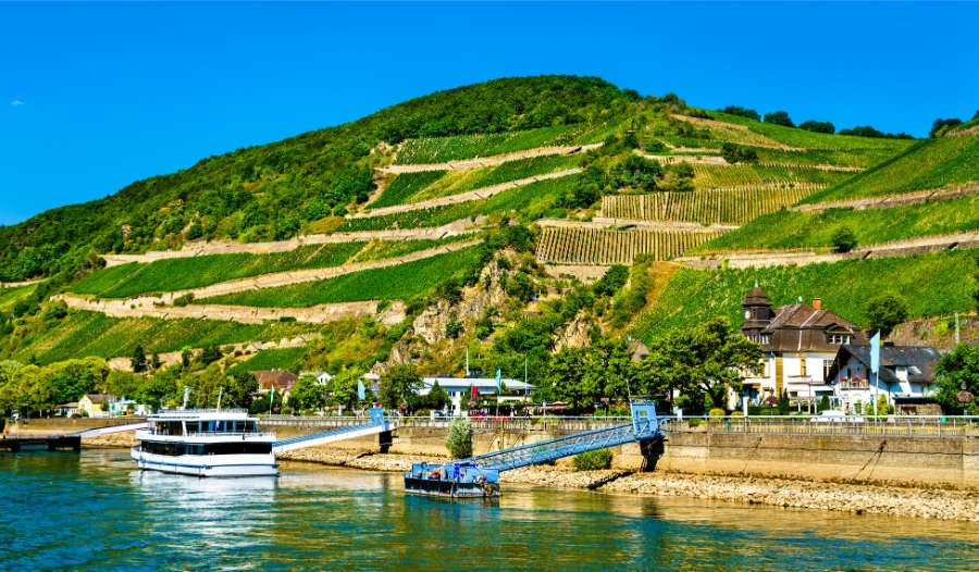
The Rhine cut a deep, narrow channel into the Rhenish Slate Mountains (Rheinisches Schiefergebirge), creating slopes too steep for ordinary farming. Slate stores daytime heat and releases it at night, which helps explain why terraced vineyards took hold on these south-facing walls.
The same narrowness made the river easy to control. Rulers who held a hillside above the water could stop every boat that passed.
Which Towns and Landmarks Define the Route?
Roughly a dozen towns anchor the valley, most of them small wine settlements pressed between the water and the slate slopes. They sit on alternating banks, so crossings matter as much as the towns themselves.
Bingen, Rüdesheim, and the Southern Gateway
Bingen holds Klopp Castle and the Mäuseturm (Mouse Tower), a river tower on an island at the mouth of the Nahe. Directly opposite, Rüdesheim am Rhein sits at the western edge of the Rheingau with Brömserburg and Boosenburg in town.
Assmannshausen, just downstream of Rüdesheim, is known for red wine in a valley dominated by white.
Bacharach, Oberwesel, and Kaub
Bacharach sits below the rebuilt Stahleck Castle, which now operates as a youth hostel. Oberwesel keeps a long stretch of medieval town wall and towers along the riverfront.
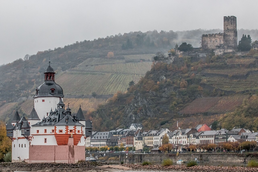
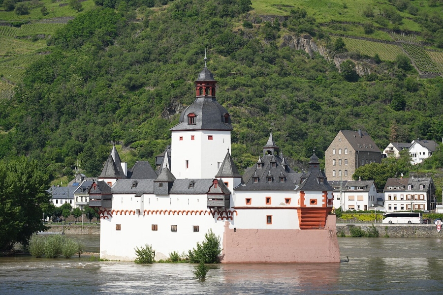
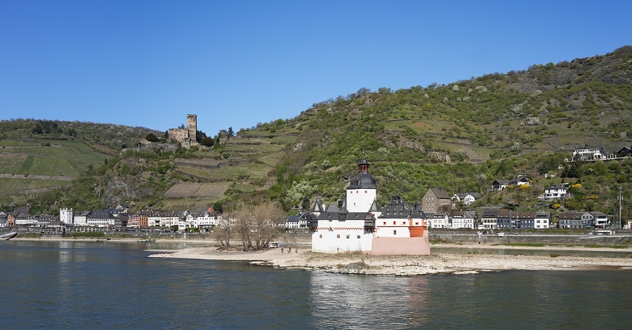
Kaub faces Pfalzgrafenstein Castle, a toll station built on a rock island in the middle of the river. Lorch lies opposite on the Hesse bank.
St. Goar, St. Goarshausen, and the Loreley
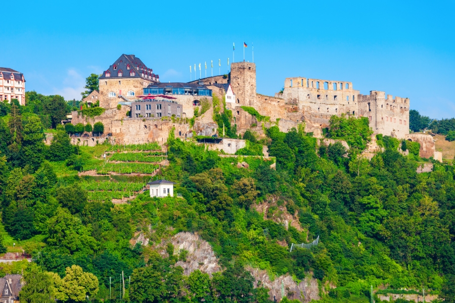
St. Goar and St. Goarshausen face each other at the narrowest point of the gorge. Above St. Goar stand the ruins of Rheinfels Castle, once the largest fortress on the Middle Rhine.
The Loreley rock rises 132 meters above the water just downstream of St. Goarshausen, where the channel narrows and currents sharpen.
Koblenz, Boppard, Braubach, and the Northern Reach
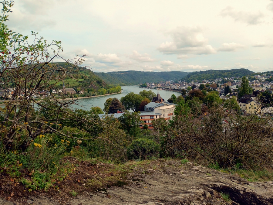
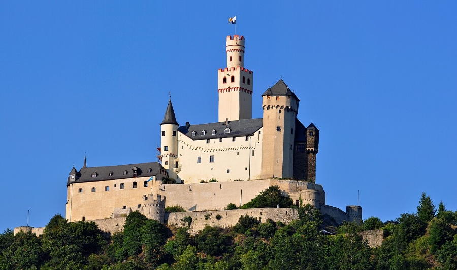
Boppard occupies a wide bend with Roman fort remains. Braubach lies below Marksburg, and Lahnstein sits where the Lahn joins the Rhine.
North of Koblenz, the corridor continues past Neuwied, Andernach, Linz am Rhein, Remagen, and Königswinter toward Bad Honnef and Bonn. Wiesbaden, Cologne, and Frankfurt frame the region as arrival points.
How Did Castles, Vineyards, and Legends Shape the Landscape?
Money built these castles. Territorial lords along the gorge collected tolls from every cargo boat, and the fortresses served as collection points rather than decorative additions to the view.
Why Fortresses Controlled Rhine Trade
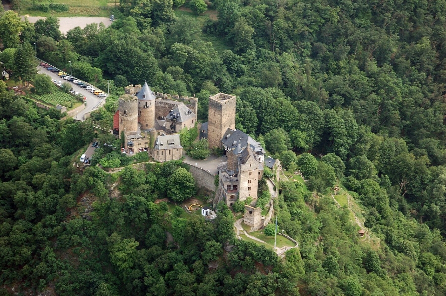
The Rhine carried grain, timber, wine, and stone through central Europe. In the Middle Ages, princes, bishops, and counts each claimed a section of bank and charged for passage.
By the 14th century, boats faced a toll roughly every few kilometers. That density explains why more than 40 castles and castle ruins stand within 65 kilometers.
Castles to Know From Marksburg to Pfalzgrafenstein
| Castle | Location | Notable for |
|---|---|---|
| Marksburg | Braubach | Never destroyed; fully intact medieval fortress |
| Pfalzgrafenstein | Kaub | Toll station built on a river island |
| Rheinfels | St. Goar | Largest ruined fortress on the Middle Rhine |
| Stahleck | Bacharach | Rebuilt as a hilltop youth hostel |
| Schönburg | Oberwesel | Restored; operates as a hotel |
| Rheinstein | Trechtingshausen | 19th-century romantic restoration |
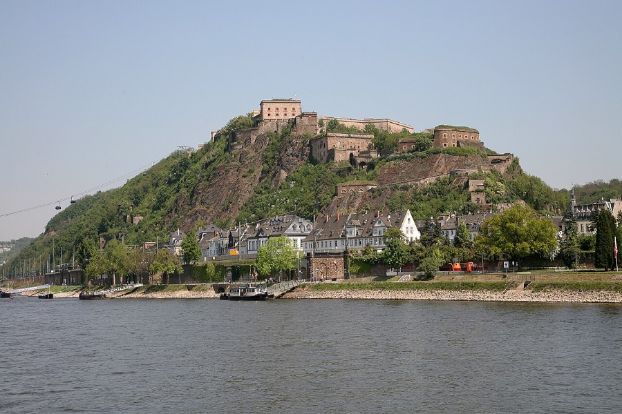
| Ehrenbreitstein | Koblenz | Large Prussian fortress above the Mosel confluence |
Marksburg allows visits by guided tour only, and English-language tours run on a limited daily schedule.
Terraced Vineyards, Riesling, and Spätburgunder
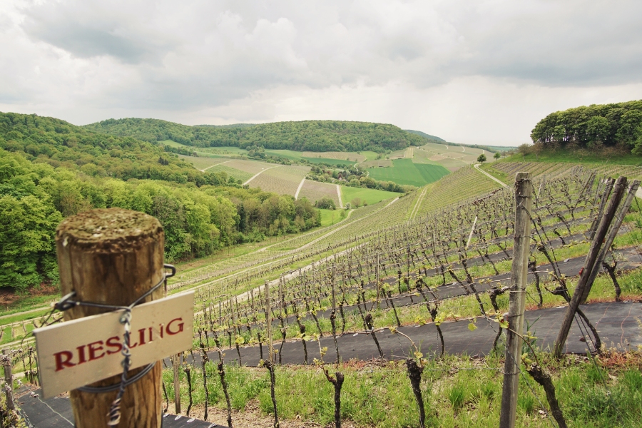
Riesling dominates the Mittelrhein wine region, planted on slate terraces held up by dry stone walls. Spätburgunder (Pinot Noir) grows in warmer pockets, most visibly around Assmannshausen.
Many growers offer winery tours and tastings in the wine villages, though hours vary by season and often stay limited to weekends outside summer.
Loreley and the Rise of Rhine Romanticism
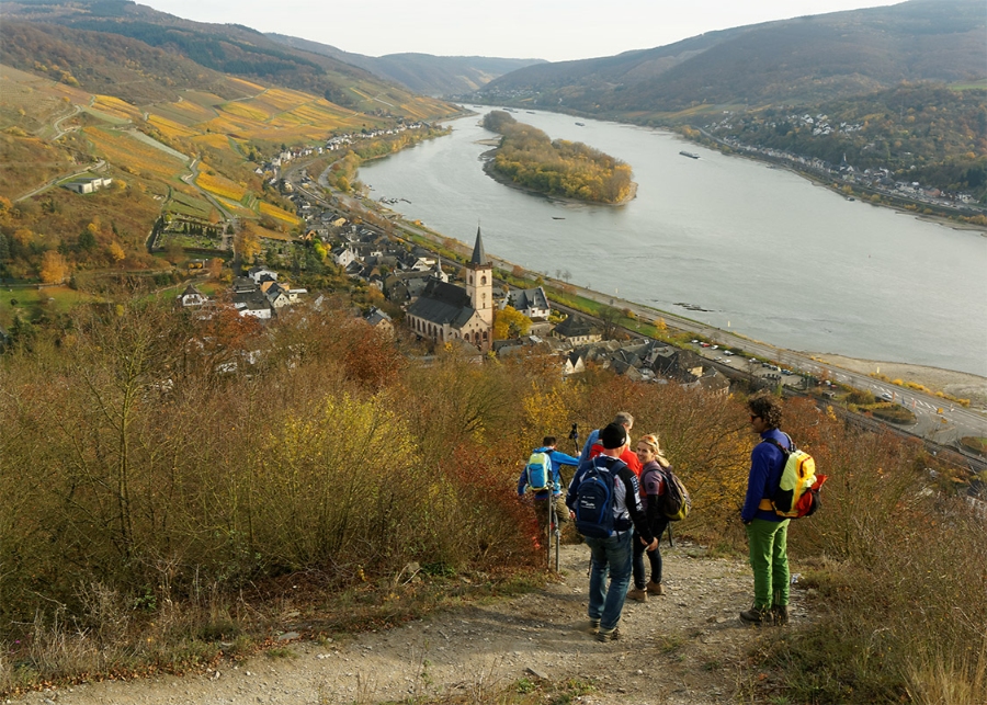
The Loreley legend of a maiden luring boatmen onto the rocks was written in the early 19th century, not inherited from the Middle Ages. Clemens Brentano invented the figure in 1801, and Heinrich Heine’s 1824 poem made it famous.
Painters including J.M.W. Turner, along with touring British and German writers, turned the valley into a symbol of the Romantic movement. That gave rise to the name Romantic Rhine.
What Are the Best Ways to Experience the River Corridor?

Boat, foot, and rail each show a different valley. A cruise gives you the castle sequence from water level, while the ridge trails reveal the gorge profile that no deck can show.
Choosing a Rhine Cruise With KD and Other Operators
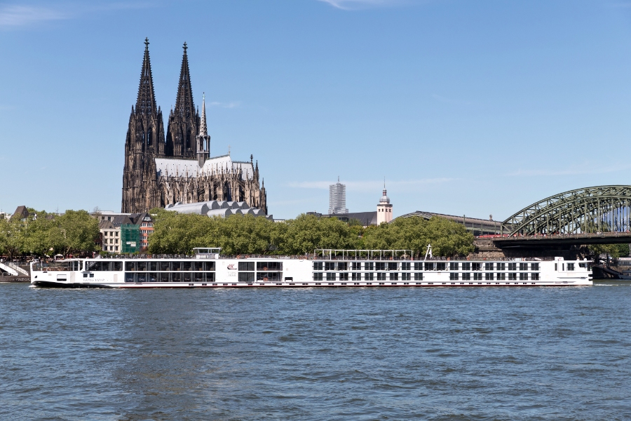
Köln-Düsseldorfer Rheinschiffahrt (KD) runs the main scheduled service through the gorge, with hop-on stops at towns including Bingen, Bacharach, St. Goar, Boppard, and Koblenz. Smaller local operators run shorter loops from individual towns.
The Bingen or Rüdesheim to St. Goarshausen leg passes the highest concentration of castles. Sailing schedules are seasonal, so confirm departures directly with the operator.
Hiking the Rheinsteig and Rheinburgenweg
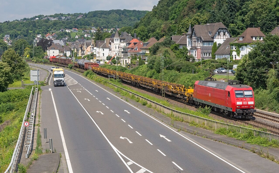
The Rheinsteig follows the right bank for about 320 kilometers from Wiesbaden to Bonn. The Rheinburgenweg runs roughly 200 kilometers along the left bank between Bonn and Bingen.
Both are marked long-distance trails with steep climbs out of the valley floor. Day sections between neighboring towns, linked by train, work well for visitors without multi-day gear. German hiking culture supports this with dense signposting and village inns at trail ends.
Wine, Museums, and Riverfront Stops
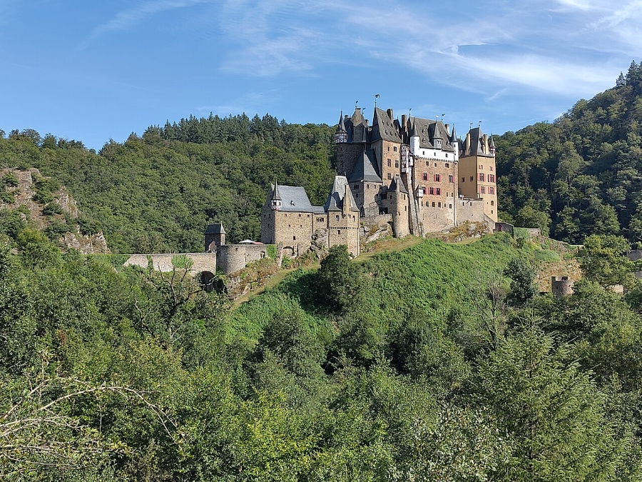
Wine tastings, small-town museums, and riverside promenades fill the gaps between castles. Boppard, Oberwesel, and Bacharach each keep compact old towns that you can walk through in under an hour.
Side valleys extend the trip: the Mosel toward Cochem and Eltz Castle, the Nahe toward Bad Kreuznach, the Lahn toward Bad Ems, plus the Ahr and Wied farther north.
Rhine in Flames and Seasonal Cultural Events

Rhein in Flammen (Rhine in Flames) is a series of fireworks and illuminated boat parades held on separate dates between May and September at Bonn, Rüdesheim and Bingen, Koblenz, Oberwesel, and St. Goar. Each event has its own date, ticketing, and boat convoy.
Wine festivals cluster in late summer and autumn. Everything About Germany covers these alongside other regional festivals across the country.
How Do You Plan a Middle Rhine Valley Trip?

Base yourself in one valley town and use trains and ferries instead of driving from site to site. The gorge is compact, and public transport runs along both banks all day.
Reaching the Valley From Frankfurt, Mainz, Cologne, and Bonn
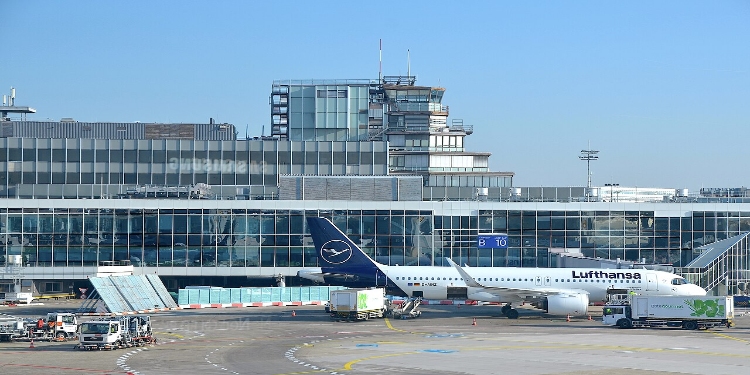
Frankfurt Airport connects to Mainz and Wiesbaden in under 30 minutes by rail. Rüdesheim or Bingen takes another 45 minutes, while Cologne and Bonn offer access from the north.
Koblenz sits on fast Deutsche Bahn lines from both directions, making it a practical entry point for a first visit. Broader trip planning for Germany helps when the valley forms one leg of a longer route.
Rhine Valley Day Trip from Frankfurt with River Cruise Option
ℹ️ Operator may substitute a historic castle visit for the boat cruise in low season or during extreme water levels.
We may earn a commission when you book through these links, at no extra cost to you.Traveling by Train on the Left and Right Rhine Lines
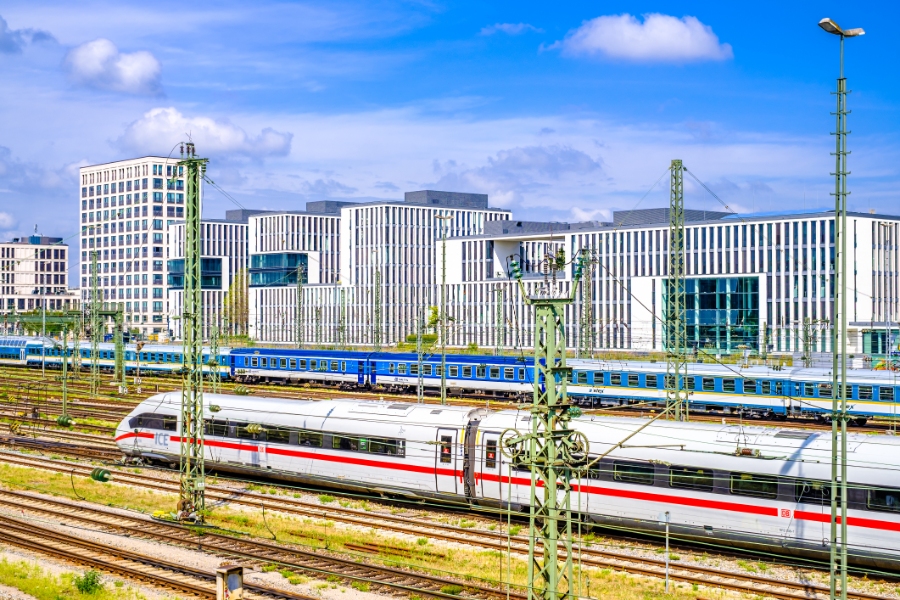
Two regional lines follow the river. The Linke Rheinstrecke (Left Rhine Line) serves Bingen, Bacharach, Oberwesel, St. Goar, and Boppard on the west bank, while the Rechte Rheinstrecke (Right Rhine Line) serves Rüdesheim, Lorch, Kaub, St. Goarshausen, and Braubach on the east bank.
The Rheinland-Pfalz-Ticket covers a day of regional travel for up to five people within Rhineland-Palatinate. That works well for small groups moving between towns.
Driving, Cycling, and Crossing the Rhine by Ferry

The B9 runs along the left bank and the B42 along the right, both close to the water. No road bridge crosses the Rhine between Koblenz and Mainz, so car and passenger ferries handle every crossing.
Ferries operate at points including Bingen–Rüdesheim, Kaub–Engelsburg, St. Goar–St. Goarshausen, and Boppard–Filsen. The Rhine Cycle Route follows the valley on both sides, with mostly flat riverside paths.
When to Visit and What to Verify Before You Go
May through October brings the fullest boat schedules and the longest castle opening hours. The valley itself remains accessible 24/7 with no entrance gate, though individual castles, museums, and cellars keep their own hours.
Verify boat timetables, castle opening times, ferry running hours, and festival dates directly with each operator before traveling. Seasonal closures are common, and other German destinations pair well with a Rhine leg, including the Romantic Road further south.
Frequently Asked Questions
Where is the Middle Rhine Valley in Germany?
The Middle Rhine Valley lies in western Germany along Rhine kilometers 529 to 660, between Bingen and Bonn. It spans Rhineland-Palatinate, Hesse, and North Rhine-Westphalia, with Koblenz near its center.
What part of the Middle Rhine Valley is a UNESCO World Heritage Site?
The Upper Middle Rhine Valley is a 65-kilometer stretch between Bingen, Rüdesheim, and Koblenz. UNESCO inscribed it as a World Heritage cultural landscape in 2002, while the corridor north of Koblenz toward Bonn remains part of the Middle Rhine but sits outside the listed property.
Which castles are most important to see in the Middle Rhine Valley?
Marksburg at Braubach is the only Middle Rhine hill castle never destroyed, making it the most complete medieval example. Pfalzgrafenstein at Kaub, Rheinfels at St. Goar, and Ehrenbreitstein above Koblenz each show a different function: a river toll station, a large fortress ruin, and Prussian defense works.
Can you visit the Rhine Valley from Frankfurt as a day trip?
Yes. Rüdesheim and Bingen are about 75 minutes from Frankfurt by regional train, leaving time for a boat leg through the gorge and a castle visit before returning the same evening.
What is the best way to travel between Rhine Valley towns?
Regional trains offer the most reliable way to travel, with frequent service on both banks and short trips between towns. Pair them with passenger ferries when you need to cross the river, as no road bridge spans the Rhine between Koblenz and Mainz.
💡 Visitor Tips & Best Experience
Visit early in the morning to avoid tour groups and wear comfortable walking shoes for cobblestones.
🚆 How to Get There & Public Transit
Accessible via Deutsche Bahn regional and intercity rail networks.
🎟️ Popular Tours & Tickets for Middle Rhine Valley
Compare tickets and guided experiences. Check available dates, what is included, and the provider's cancellation terms before booking.